You can help expand this article with text translated from the corresponding article in Arabic. (January 2025) Click [show] for important translation instructions.
|
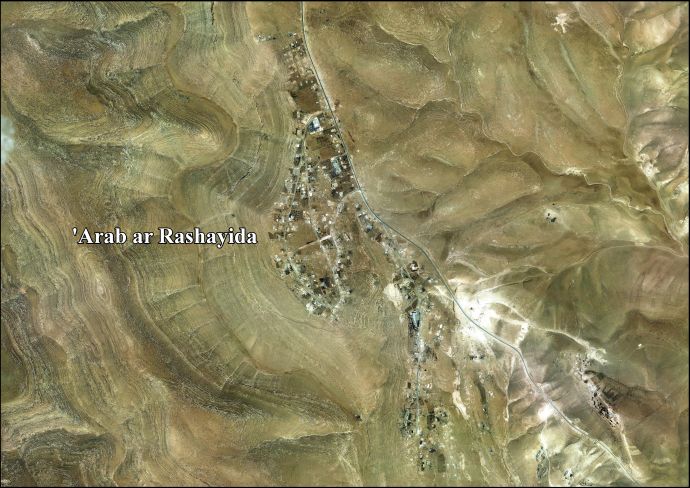
'Arab al-Rashayida | |
|---|---|
| Arabic transcription(s) | |
| • Arabic | عرب الرشايدة |
| • Latin | al Rashaydeh (official) |
 'Arab al-Rashayida Location of 'Arab al-Rashayida within Palestine | |
| Coordinates: 31°34′14″N 35°13′58″E / 31.57056°N 35.23278°E | |
| State | State of Palestine |
| Governorate | Bethlehem |
| Government | |
| • Type | Village council |
| Population (2017)[1] | |
• Total | 2,060 |
'Arab al-Rashayida (Arabic: عرب الرشايدة) is a Palestinian village in the Bethlehem Governorate, central West Bank. According to the Palestinian Central Bureau of Statistics, the city had a population of 2,060 in 2017.[1]
History
[edit]In the wake of the 1948 Arab–Israeli War, and after the 1949 Armistice Agreements, Al-Rashayida came under Jordanian rule.
Since the Six-Day War in 1967, the village has been under Israeli occupation.
After the 1995 accords, 5.7% of al-Rashayida's land was classified as Area A, 1.1% classified as Area B, 10.2% classified as Area C, while the remaining 83% is classified as "nature reserve".[2]
Footnotes
[edit]- ^ a b Preliminary Results of the Population, Housing and Establishments Census, 2017 (PDF). Palestinian Central Bureau of Statistics (PCBS) (Report). State of Palestine. February 2018. pp. 64–82. Retrieved 2023-10-24.
- ^ 'Arab ar Rashaiyda Village profile, ARIJ, p. 16
External links
[edit]- Welcome To Arab al-Rashaydih
- 'Arab ar Rashayida Village (fact sheet), Applied Research Institute–Jerusalem, ARIJ
- 'Arab ar Rashaiyda Village profile, ARIJ
- 'Arab ar Rashayida aerial photo, ARIJ
| Cities |  | |
|---|---|---|
| Municipalities | ||
| Villages |
| |
| Religion | ||
| Refugee camps | ||
| Other | ||
This geography of Palestine article is a stub. You can help Wikipedia by expanding it. |