Buramsan
Mountain in Gyeonggi Province, South Korea
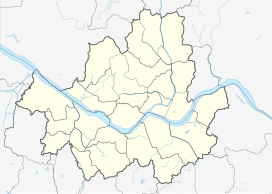

Buramsan
South Korea
Show map of Seoul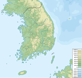
Buramsan
Buramsan (South Korea)
Show map of South Korea불암산
佛岩山
Buramsan (Korean: 불암산) is a mountain in South Korea. It sits on the boundary between the district of Nowon-gu in Seoul, the national capital, and the city of Namyangju, in the province of Gyeonggi-do. It has an elevation of 507 m (1,663 ft).[1] It also has a heliport at the second peak (420 m (1,378 ft)).[citation needed]
Gallery
-
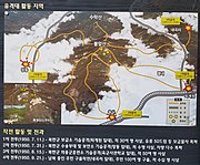 Signpost showing military action on the mountain during the Korean War
 -
 A cave on the mountain used during the Korean War


See also
References
- ^ Yu, Jeong-yeol (2007). 한국의 산 여행 (Travel Guide to Korean Mountains) (in Korean). Seoul: 관동 상억연구회 (Kwandong). p. 74. ISBN 978-89-958055-1-0.


