Mørkdalstuva

Mørkdalstuva
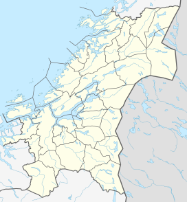
Location of the mountain
Show map of Trøndelag
Mørkdalstuva
Mørkdalstuva (Norway)
Show map of NorwayMørkdalstuva or Mørkdalstua is the tallest mountain on the island of Hitra in the municipality of Hitra in Trøndelag county, Norway. The 345-metre (1,132 ft) tall mountain lies on the western side of the island, about 8 kilometres (5.0 mi) northeast of the village of Forsnes and 7.5 kilometres (4.7 mi) southeast of the village of Kvenvær.[1]
Name
The mountain is named after the Mørkdalen valley. The last element is the finite form of tuve or tue which means "tussock". The valley name Mørkdalen is a compound of mørk which means "dark" and the finite form of dal which means "dale" or "valley".
References
- ^ a b "Mørkdalstua, Hitra (Trøndelag)" (in Norwegian). yr.no. Retrieved 2018-02-16.
- v
- t
- e


