Charlton Kings
 | |||
| Państwo |
| ||
|---|---|---|---|
| Kraj |
| ||
| Region | South West | ||
| Hrabstwo | Gloucestershire | ||
| Dystrykt | Cheltenham | ||
| Populacja (2011) • liczba ludności |
| ||
| Nr kierunkowy | 01242 | ||
| Kod pocztowy | GL53 | ||
Położenie na mapie Gloucestershire 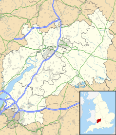 | |||
Położenie na mapie Wielkiej Brytanii  | |||
Położenie na mapie Anglii  | |||
 51°53′16″N 2°02′29″W/51,887778 -2,041389 51°53′16″N 2°02′29″W/51,887778 -2,041389 | |||
| |||


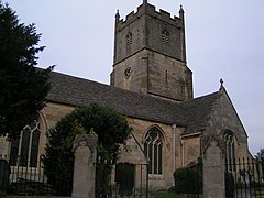
Charlton Kings – osada i civil parish w Anglii, w hrabstwie Gloucestershire, w dystrykcie Cheltenham[1]. Leży 15 km na wschód od miasta Gloucester i 139 km na zachód od Londynu[2]. W 2011 roku civil parish liczyła 10 396 mieszkańców[3].
Przypisy
- p
- d
- e
Miejscowości dystryktu Cheltenham
|


